The Fall Line is a 43-mile long, north-south regional paved, shared use path connecting seven localities: Ashland, Hanover, Henrico, Richmond, Chesterfield, Colonial Heights, and Petersburg.
Ashland
Miles: 0.8
Section: 42.53 to 43.3
The northern end of the Fall Line trail is in the Town of Ashland, a vibrant small town with big personality and home to Randolph Macon College. Through a combination of bike and pedestrian infrastructure the Town of Ashland acts as a trailhead. The shops, parks, restaurants, and statue of Secretariat—yes he was born here—make Ashland the perfect place to spend the day. The Fall Line follows the route of the Ashland to Richmond Trolley right of way and its train heritage is still prominent with an Amtrak stop in downtown.
Hanover
Miles: 3.63
Section: 38.9 to 42.53
The Fall Line trail follows the old Ashland to Richmond Trolley Line route through Hanover County, home to delicious tomatoes, one of the nation’s oldest courthouses, and Kings Dominion Amusement Park. Both Dominion Energy and Vulcan Materials own land along this section and have generously provided right of way easements to facilitate the trail.
Henrico
Miles: 7.5 miles
Section: 31.4 to 38.9
The Fall Line trail continues along the former Ashland to Richmond Trolley Line into Henrico and ties into park land along Upham Brook and Spring Park. A mixture of residential, retail, and restaurants align this section of the trail along with trail connections to major attractions including the Henrico County Sports and Events Center, Green City development, Lewis Ginter Botanical Gardens, Glover Park, and the Staples Mills Amtrak Station.
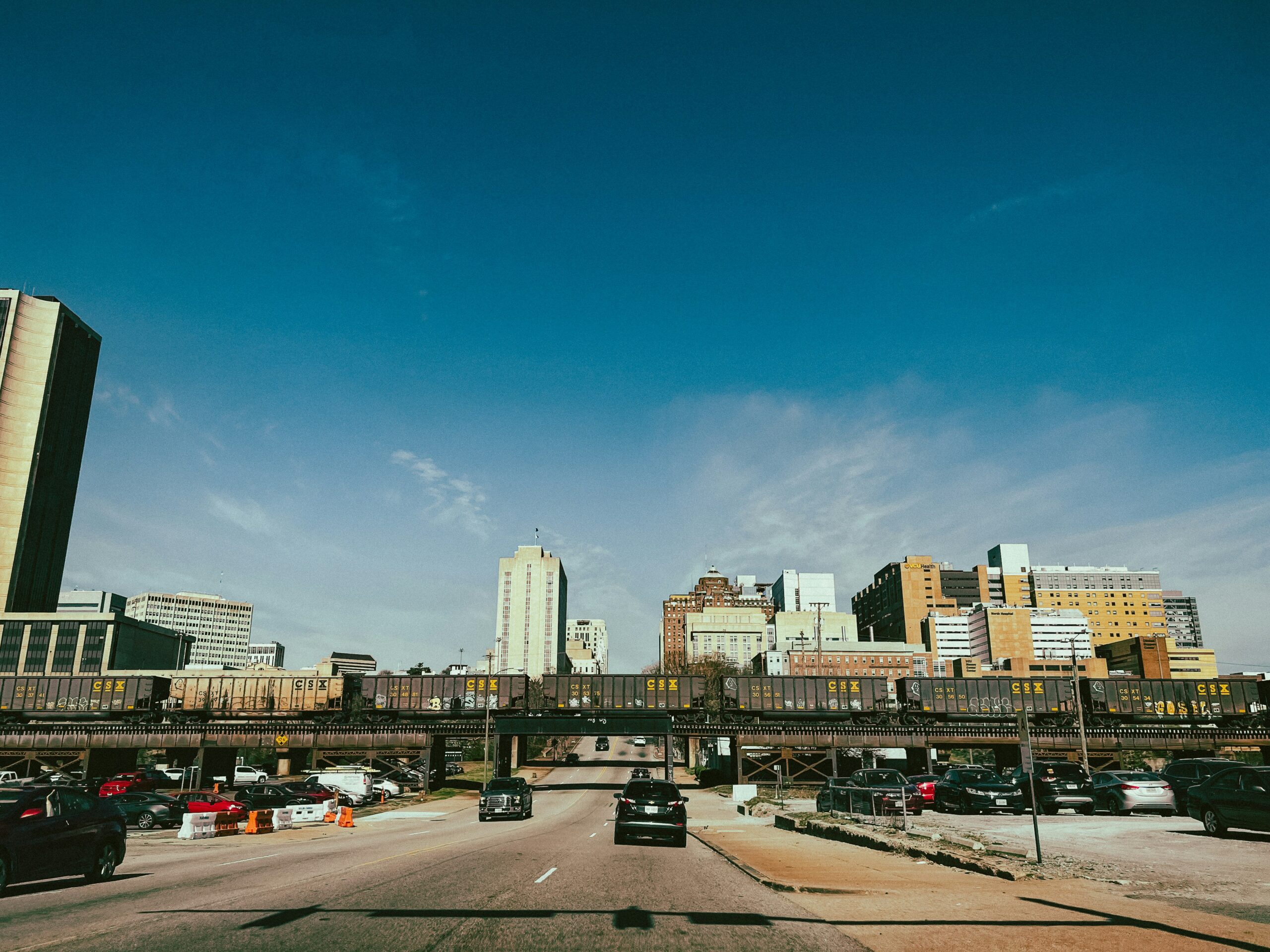
Richmond
Miles: 12.8
Section: 18.6 to 31.4
The Fall Line trail passes through the City’s parks, downtown urban coolness, where cobblestone streets meet the arts scene. It’s a mid-size city with world–renowned restaurants, microbreweries, museums, and whitewater rafting. The trail crosses the James River and its amazing park along with a trail connection to the Virginia Capital Trail, a 52 mile long paved trail connecting to Jamestown. Major visitor attractions along the route include the Black History Museum, Virginia State Capitol, Maggie Walker Visitors Center, Virginia Union University, and the Kanawha Canal.
Chesterfield
Miles: 17.1
Section: 0.1 to 18.6 but goes in and out of Colonial Heights twice
The Fall Line follows a former rail line managed by Great Coastal Railroad for much of the way through Chesterfield County and a variety of connections to reach the City’s sections to the north. The trail passes through retail shops, restaurants, and the first Ironworks site in North America at Falling Creek. Numerous trail connections are under consideration to lead to historic sites, parks, and area schools. At the southern end of the trail it passes through Virginia State University’s campus before crossing over the Appomattox River into Petersburg.
Colonial Heights
Miles: 1.5
Sections: 0.85 to 1.35 and 1.8 to 2.8
The Fall Line trail passes through the City of Colonial Heights along the Great Coastal Railroad route connecting between different sections of Chesterfield County. The stunning view crossing Swift Creek will be a top natural highlight of the trail. The trial will be a short distance from a vibrant retail and restaurant district.
Petersburg
Miles: 0.1
Sections: 0.0 to 0.1
At the southern terminus of the Fall Line it crosses the Appomattox River into Petersburg where the river transitions from free flowing to tidal. Petersburg is known for its rich historical background with its historic neighborhoods, renovated warehouses, restaurants, shops, and breweries. The trailhead on the banks of the Appomattox doubles as the trailhead for the future Lower Appomattox River Trail connecting Lake Chesdin to Hopewell.